CURRENT AFFAIRS
Get the most updated and recent current affair content on Padhaikaro.com
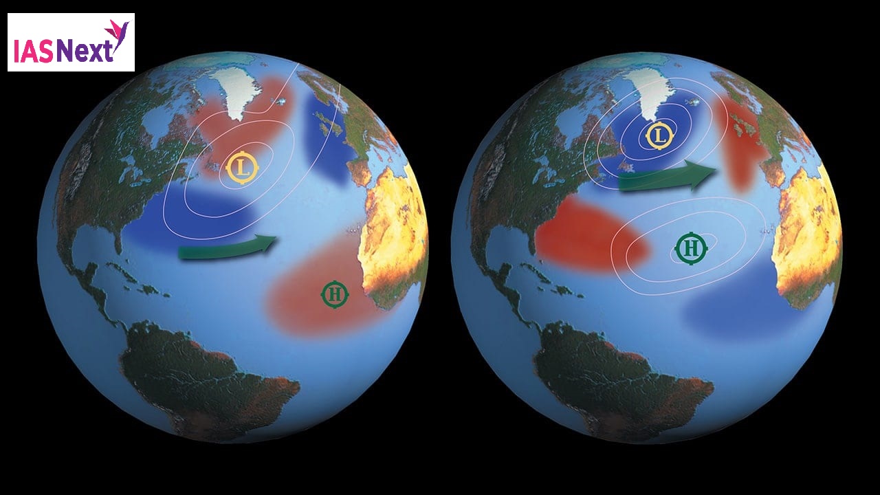
Interaction between La Niña and the warm Arctic
- IAS NEXT, Lucknow
- 31, Mar 2022

Reference News:-
The Indian Meteorological Department (IMD) declared the season’s first heat wave and severe heat wave March 11 and the first depression March 3.
- Experts say this is early compared to previous years and may be because of an unexpected climatic anomaly which could, in turn, be linked to global warming.
According to experts:
The reason behind early heat waves, early depressions and the weird dust storms is the continued persistence of a north-south low pressure pattern that forms over India during winters when a La Niña phenomenon is occurring in the equatorial Pacific Ocean.
- The last time we had a La Niña persisting for three years was during 1998-2000 and 2000 also had a cyclone in March.
Impact of La Niña:
- The sea surface temperatures over the east and central Pacific Ocean become cooler-than-average during La Niña.
- This affects the trade winds flowing over the ocean surface through change in wind stress.
- The trade winds carry this weather disturbance elsewhere and affect large parts of the world.
- In India, the phenomenon is mostly associated with wet and cold winters.
Larger concern:
If the interaction between the La Nina and the warm Arctic is in fact happening then it is an impact of global warming induced by human greenhouse gas emissions.
What are the Niño and La Niña?
They are two natural climate phenomena occurring across the tropical Pacific Ocean and influence the weather conditions all over the world.
- While the El Niño period is characterised by warming or increased sea surface temperatures in the central and eastern tropical Pacific Ocean, a La Niña event causes the water in the eastern Pacific Ocean to be colder than usual.
- Together, they are called ENSO or El Niño-Southern Oscillation.
What causes El Nino?
- El Nino sets in when there is an anomaly in the pattern.
- The westward-blowing trade winds weaken along the Equator and due to changes in air pressure, the surface water moves eastwards to the coast of northern South America.
- The central and eastern Pacific regions warm up for over six months and result in an El Nino condition.
Weather changes because of La Nina:
- The Horn of Africa and central Asia will see below average rainfall due to La Niña.
- East Africa is forecast to see drier-than-usual conditions, which together with the existing impacts of the desert locust invasion, may add to regional food insecurity.
- It could also lead to increased rainfall in southern Africa.
- It could also affect the South West Indian Ocean Tropical Cyclone season, reducing the intensity.
- Southeast Asia, some Pacific Islands and the northern region of South America are expected to receive above-average rainfall.
- In India, La Niña means the country will receive more rainfall than normal, leading to floods.